Welcome to INES-Ruhengeri
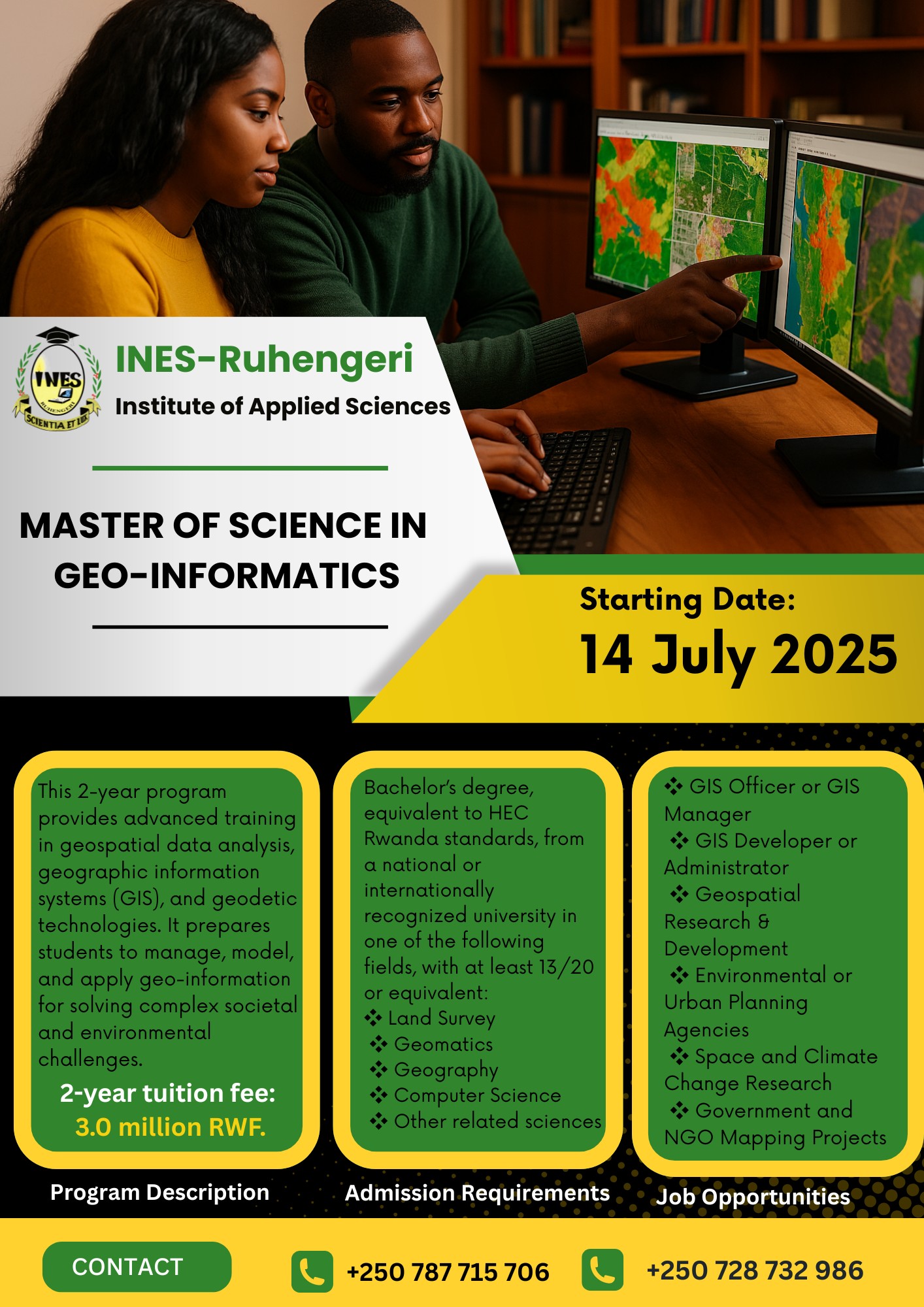
INES-Ruhengeri Teaches Master’s Program in Geo-Informatics to Advance Spatial Intelligence
28 May 2025
INES-Ruhengeri has officially launched the Master of Science in Geo-Informatics, a cutting-edge postgraduate program aimed at advancing spatial intelligence across critical sectors in Rwanda and beyond.
This 2-year program is designed to equip professionals with the technical expertise and applied skills needed to manage, model, and visualize geospatial data for informed decision-making in today’s data-driven world.
Since 2010, INES-Ruhengeri has been at the forefront of land survey education at the undergraduate level. The introduction of this master’s program marks a strategic move to bridge industry gaps in geospatial and geodetic systems, especially as modern tools and technologies become more sophisticated and essential to national development.
“Geo-Informatics is the backbone of smart decision-making in climate action, security, agriculture, and urban development,” a faculty expert noted. “Our goal is to train professionals who can lead with data.”
The program welcomes applicants with academic backgrounds in Land Survey, Geomatics, Geography, Computer Science, and related sciences. With a balanced approach of coursework, research, and field-based projects, students will gain in-demand skills in GIS, remote sensing, spatial modeling, and satellite data interpretation.
Career Opportunities
Graduates of the program will be prepared for roles such as:
-
GIS Manager / GIS Developer
-
Environmental and Urban Planning Consultant
-
Geospatial Analyst
-
Researcher in Space and Climate Studies
-
Expert in Governmental and NGO Mapping Projects
Apply Now
Admissions are open for both local and international students.
For program details and application requirements, visit:
Or call the number on the flyer for personalized guidance.
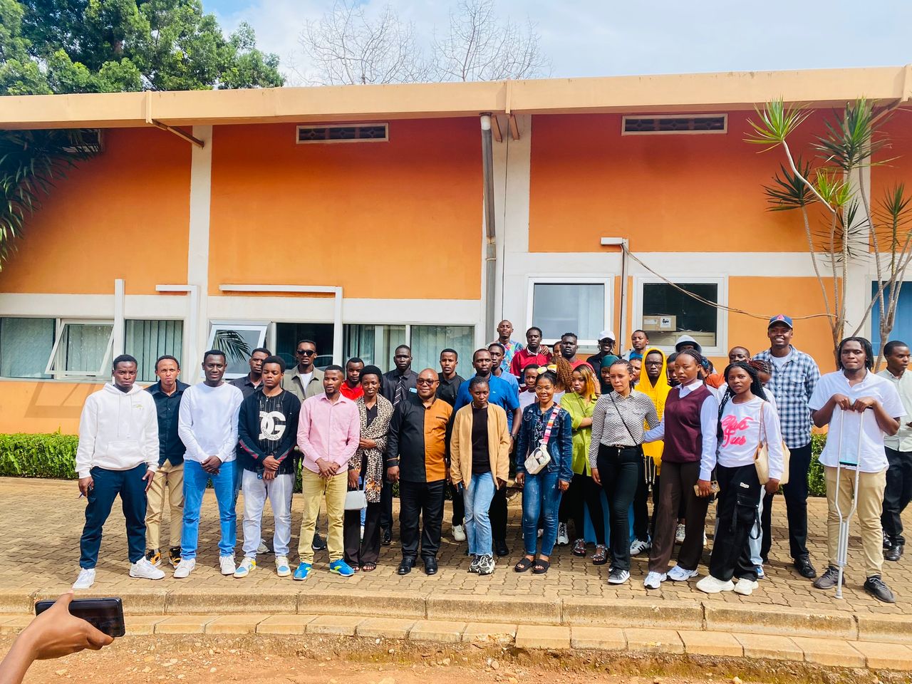
01 April 2025
Network Engineering students from INES-Ruhengeri visited Liquid Telecom in Kigali on April 1st, 202…
LEARN Now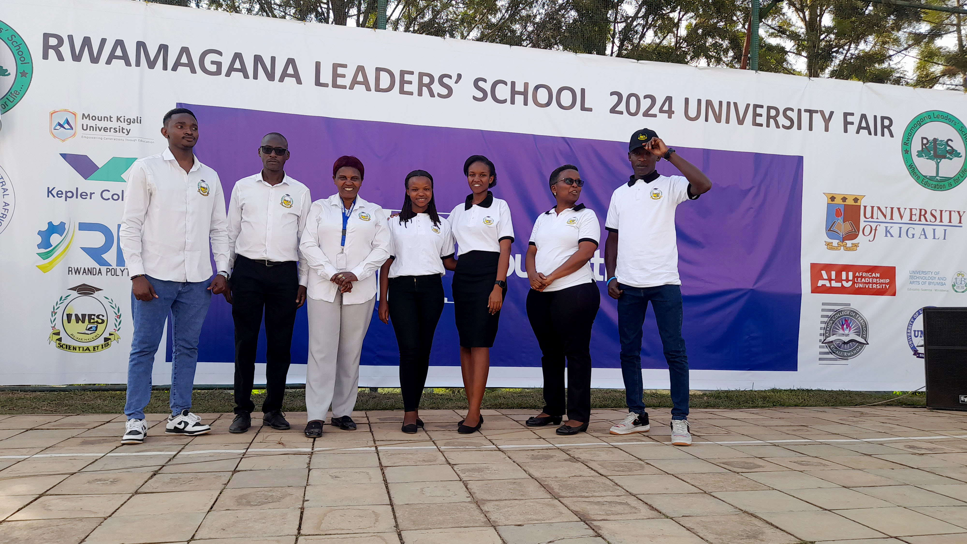
29 June 2024
On June 28, 2024, a delegation from INES-Ruhengeri, our institute of Applied Sciences, actively par…
LEARN Now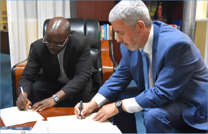
04 December 2023
On 30th November 2023, a Memorandum of Understanding (MoU) between INES-Ruhengeri and the Universit…
LEARN NowUseful Links


